

Multilayer
The integration of soil and yield data.
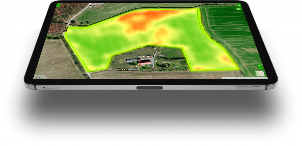

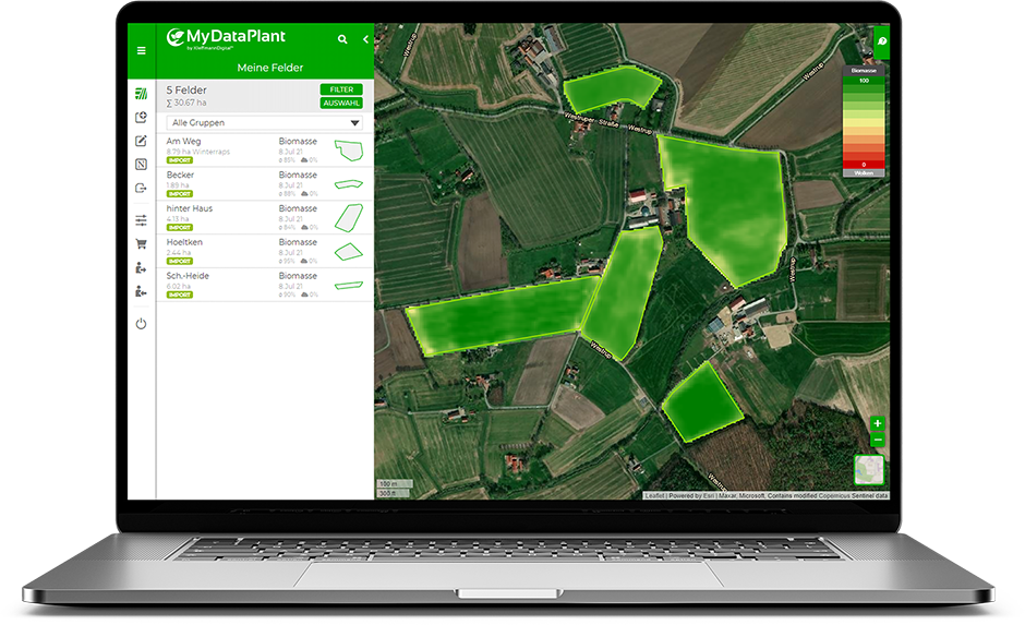
Investment in a wide range of data whether soil sampling, drone overflights or yield measurements often remain as separate unrelated datasets, which are difficult to integrate in a user friendly way. MyDataPlant offers a universal tool for bringing this data to life to aid agronomic decision making.
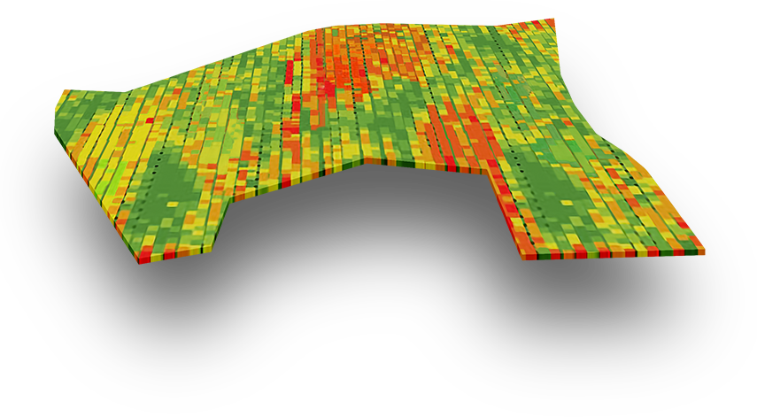
Our multilayer tool functionality automatically combines data from different sources and makes them usable, in a most cost effective way. The existing map material can simply be uploaded to the portal in common geographic formats. With just a few clicks you can create an application map from it. In addition, you can combine several data sources and weight them differently in order to manage your fields in an even more targeted way.
Soil maps
- Imperial Soil Estimate
- Ground soil investigation
- and many more...
- Nmin soil investigation
- EM38 (conductivity)
Yield maps
- Combine harvester
- Harvester
- Forage harvester
- and many more...
Vegetation maps
- Satellite
- N-Sensor
- Drone
- and many more...
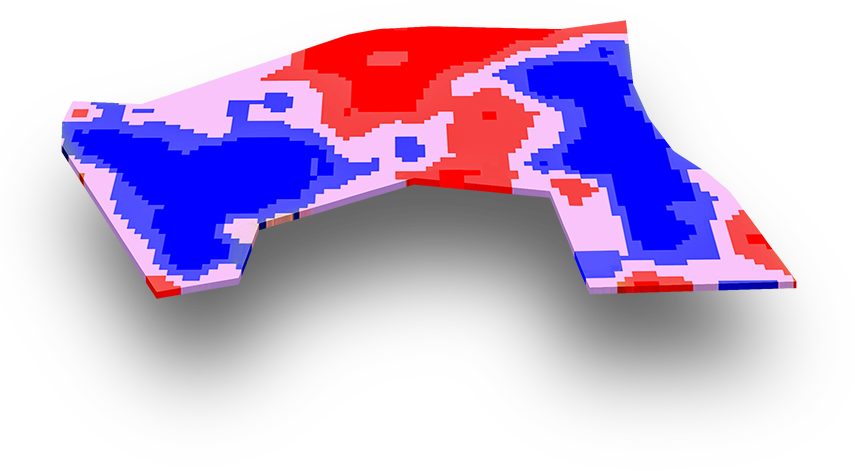
New areas of application for precision farming
The use of multilayer maps is suitable for a wide range of application areas that were previously not feasible in this way in precision farming. Two examples:
Variable liming using pH value maps:
In classical soil sampling, the pH value is recorded as standard. This forms the perfect basis for site-specific lime application.
Variable rapeseed sowing based on clay content maps:
The clay content in the soil is an essential influencing factor for the emergence and establishment of rapeseed. On soils with a high clay content, oilseed rape usually has a little more difficulty and the sowing rate can be increased. On lighter land, the seed rate can be reduced. In addition, a current biomass map is added and this is merged with the clay content maps. The biomass map ideally comes from the maturity of the previous crop in order to take season-specific conditions into account.
Try it now for free!
Register today and use MyDataPlant for 14 days free of charge.
5 fields and 1 export included

