Soil Sampling
More precise
Even faster
More efficient
Soil sampling maps for site-specific determination of growing conditions
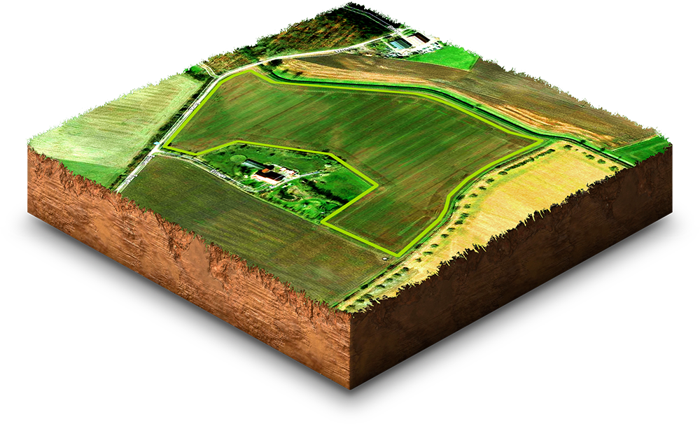
With the help of the MyDataPlant soil sampling maps, you can create specific soil zones according to their individual needs and thus significantly increase the nutrient efficiency of the fertilisers used. Likewise, the seeding rate can be adapted to heterogeneous growth potentials in advance.
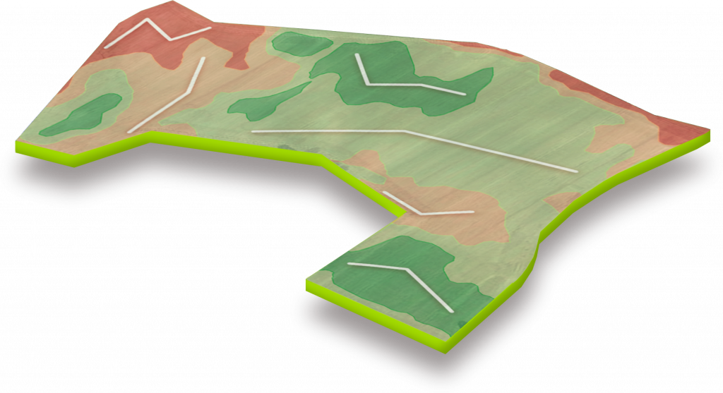
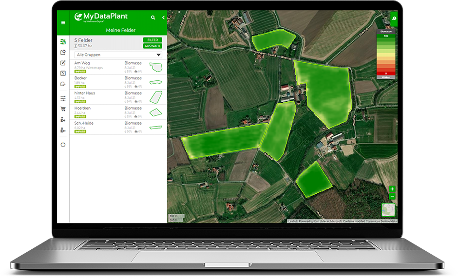
MyDataPlant creates a precise zone map with orientation lines and sampling points, which can be driven and sampled with the help of MyDataPlant app or external GPS technology. The results of the georeferenced soil samples can be used again in the online portal as a base for other application maps. This gives you a visualisation of the individual zones, where you can immediately see anomalies within the area and you can create your own field history with laboratory results
Advantages of soil sampling maps
Automatic Zoning
based on real growth conditions
Planning of the
orientation lines
Smart Transmission
of soil sampling orders
Use of the Results
in application maps (with further processing in subsequent measures)
Mobile App
for efficient navigation during sampling
Easy Export
via email
Try it now for free!
Register today and use MyDataPlant for 14 days free of charge.