Save costs and increase your yields – with MyDataPlant.
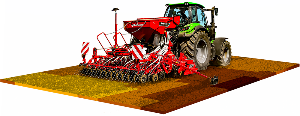
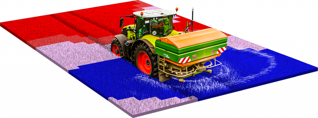
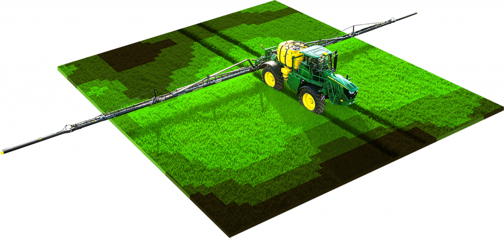
Is farming your passion? Do you feel at home in the field? MyDataPlant gives you insights to aid decision making. Our software is available to you throughout the season to optimise your farming with our application maps for sowing, fertilising and crop protection. Our technology processes satellite data to enable more precise management of your inputs – tailored exactly to your fields. Save time and money and optimise your crop production. Simple and straightforward.
What our customers say:
“Never again without! The application maps are quick and easy to create. This is how I secure my qualities.”
Hans von Schaaffhausen
Farmer
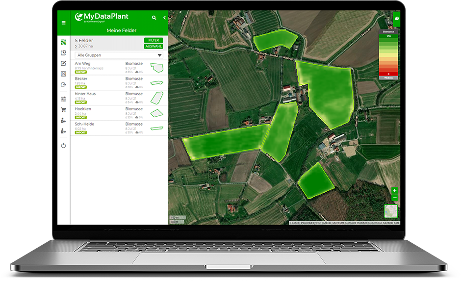
“The up-to-date biomass maps allow me to follow the development of my crops from my desk.”
Walter Dieck
Farmer
“MyDataPlant is very easy to use. Clear, smart, cost-effective and highly recommended!”
Johannes Paas
Farmer
“Seed maps allowed us to compensate for poor field emergence in clayey areas, resulting in more homogeneous stands.”
Burkhard Voss
Farmer
“MyDataPlant is a great tool. You turn the small screws and achieve a big effect.”